Selected work
Selected work
Work areas documented in the CV. Maps, orthophotos and field photos are added as they are cleared for publication.
- Web GIS
2025
Digital Map of the State Border Service of the Kyrgyz Republic
Trilingual web map of border-regime rules for the State Border Service website and discoverkyrgyzstan.org.
Open - Water Resources Management
2018–2023
Maps and schemes for River Basin Plans
Detailed maps, schemes and thematic maps prepared for inclusion in river basin plans.
Open 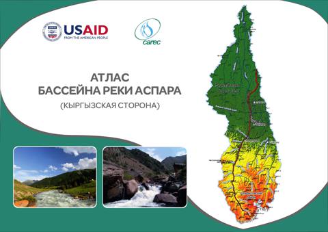 GIS & Mapping
2020
Atlases of pilot river basins
Maps for the Aspara and Isfara basins; atlases for Kurkuroo, Aspara, Padysha-Ata, Isfara and Isfana-Aksuu.
Open- Remote Sensing
2019
Digital land-use map of Kyrgyzstan (LULUCF)
Land-use inventory with Collect Earth by the six IPCC land-use categories and a national digital land-use map.
Open - UAV & Photogrammetry
2012–2018
UAV aerial photography and orthophoto digitising
Flight preparation, aerial photo and video capture, processing and digitising of orthophoto materials.
Open - Land Surveying
2012–2018
Inventory and accounting of the land fund
Digital cartographic data for the national land fund inventory of the Kyrgyz Republic.
Open - GIS & Mapping
2012–2018
Unified digital map standard and symbol classifier
A unified standard for digital maps, a conventional symbols classifier and styles for vector terrain models.
Open - Cadastral Analysis
2012
GIS technologies in land registration — Ton District
Diploma project on applying GIS to land registration in Ton District, Issyk-Kul Region.
Open - Web GIS
2020–2023
Interactive platform and GIS application QA
Participation in an interactive platform and quality control of websites, GIS and mobile applications.
Open - GIS & Mapping
2020
Land-use map digitising and geodatabase
Geodatabase creation and management and digitising of land-use maps for an FAO project.
Open